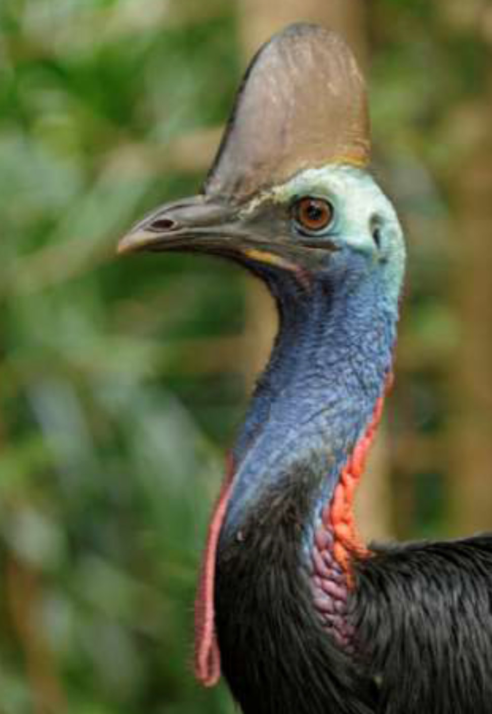
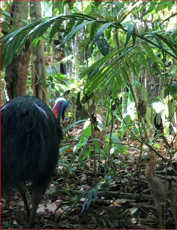
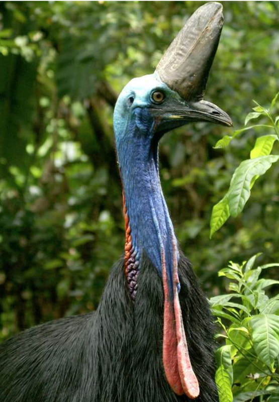
'We can help to secure a safe future for 'Joov', 'Bella' and their future familiesThe Plan so far
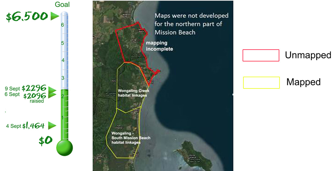
In 2008 Terrain NRM and CSIRO worked with the community and government departments to develop a local area plan for Mission Beach. (Mission Beach Habitat Network Action Plan MBHNAP) A crucial part of the plan was the mapping of habitat connectivity which is often very narrow nature strips associated with creeks and drains connecting larger blocks of rainforest and are necessary for cassowaries to access their now severely fragmented essential habitat. Two projects were carried out as part of the MBHNAP, The Wongaling Creek Habitat Linkages and the Wongaling - South Mission Beach Habitat Linkages. The mapping from these projects was incorporated into the local Planning Scheme. Funds ran out before the mapping was completed for the northern section of Mission Beach. Why is mapping important? The Federal Government relied on the habitat linkage mapping to identify Lot 66 as a crucial cassowary corridor linking the Wet Tropics and the Great Barrier Reef World Heritage Areas. "Without the mapping, the large habitat corridor in the heart of Mission Beach would now be cleared and subdivided into 40 residential lots" Festival committee member Liz Gallie said. "The announcement this week by Transport and Main Roads Minister, Mark Bailey, that a dedicated cassowary land bridge is to be incorporated into the Bruce Highway upgrade at Smiths Gap is most welcome". said Liz. Smiths Gap is part of the longest widest rainforest corridor in the Wet Tropics and was identified as one of four landscape scale corridors targeted for priority action when the cassowary was placed on the list of 20 birds to have improved trajectories by 2020. "It demonstrates the importance of corridors being reocognised in planning documents. If they are mapped then available funding can be directed to where it is needed most". Liz said. What does it mean? When the cassowary was placed on the 20 birds priority action list, all the available funding was directed to the larger landscape scale corridors. "No funding is now being made availabe to identify and protect the smaller habitat corridors on the coastal strip of Mission Beach" said Liz. "Many corridors are known to support cassowaries but not identified in our local planning scheme and therefore not taken into account when developments are being assessed". Mission Beach community Cassowary Festival has a goal The Mission Beach Community Cassowary Festival committee wants to raise $6,500 to complete the mapping and then ask the Cassowary Coast Regional Council to please incorporate the completed mapping into the Planning Scheme. A donation page has been set up on the festival website. All donations will go toward the mapping and will help to secure the safe future of cassowaries many of which are well known to the residents of the northern part of Mission Beach. Liz said " As an example, the community has been sharing information on the Mission Beach Cassowaries facebook page. since 2009 which shows there have been at least 9 individual birds moving through the Bingil Bay Reserve corridor including well known Joov and Bella". These birds rely on corridors that are currently not recognised in any planning." said Liz "Unless the mapping is completed and incorporated into the Cassowary Coast Planning Scheme, these birds face an uncertain future" For more information contact Liz Gallie on 0414402315 DONATIONS CAN BE MADE ONLINE HERE
1 Comment
|
Details
ArchivesCategories |


 RSS Feed